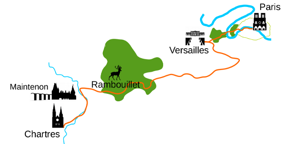
- – Between 38 and 65 km per day
- – Type of road : bicycle path and lane, green trail, véloroutes partly following Véloscénie and the Chemin de St Jacques de Compostelle (St. James)
- – Elevation: positive 1078 m | negative -959 m
- – Environment: urban / countryside / forest